
charlesclosesociety
ONE-INCH ENGRAVED MAPS OF THE ORDNANCE SURVEY FROM 1847
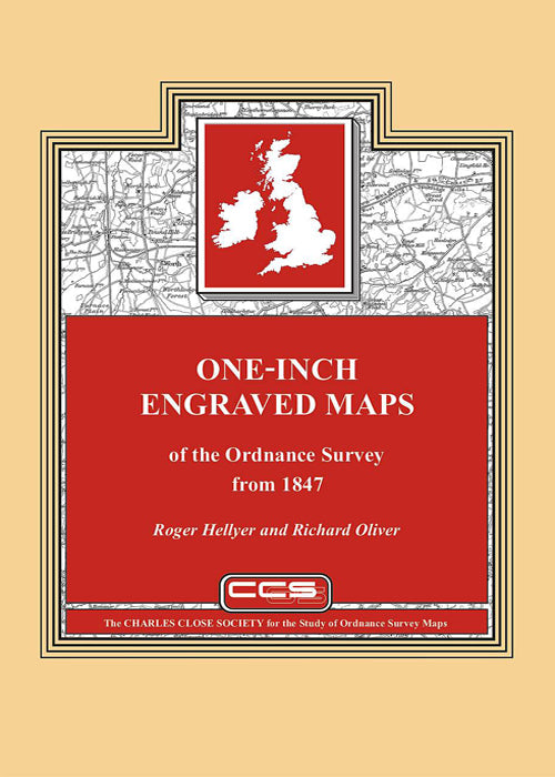
ONE-INCH ENGRAVED MAPS OF THE ORDNANCE SURVEY FROM 1847
Couldn't load pickup availability
Roger Hellyer and Richard Oliver, 2009.
714 pages, A4 hardback.
In choosing the starting date of 1847 for this wide-ranging work, the authors cover the full history of the one-inch engraved map in Scotland and Ireland, while in England and Wales, where publication of the Old Series had been in progress since 1805, Old Series sheets 91 to 110 are included. These latter sheets, north of the ‘Preston to Hull line’, differ from those published earlier, being demonstrably on Cassini’s Projection on the origin of Delamere and based on survey at six-inch or larger scales. Their quarter sheets form the basis of the system of regular sheet lines that would be extended south to cover all of England and Wales as the Old Series was superseded by what became known as the New Series. The book charts the long history of the subsequent editions of the engraved map, culminating in the last sheets in Ireland going out of print in 1999.
The authors are two of the leading experts in the field and this newly published work is the product of many years of painstaking research. It follows the pattern of their other joint monographs. First we have a substantial 106 page ‘essay’ from Dr Oliver, giving not only an indepth history of the map including its conception, birth, youth and maturity, but also an extensive chapter on the map content, covering both marginalia and also the interpretation of the map itself and the instructions given to the surveyors and draughtsmen.
Dr Hellyer then takes over and provides a comprehensive cartobibliography of every known state of each sheet of each edition of the map based on meticulous examination of collections ranging geographically from the University of British Columbia to the Royal Library in Copenhagen. A particularly strong feature of the cartobibliography is the information on railway alterations and other detailed changes to the face of the map. This should allow the exact identification of the many sheets which are encountered with their margins trimmed.
The book is completed with a section of index diagrams for each edition, a gazetteer of map collections, chronology, bibliography and a comprehensive index to the essay.
No map librarian, serious student or collector of Ordnance Survey maps, can afford to be without this major new work.
