charlesclosesociety
THE ORDNANCE SURVEY IN THE NINETEENTH CENTURY
THE ORDNANCE SURVEY IN THE NINETEENTH CENTURY
Couldn't load pickup availability
Richard Oliver, 2014.
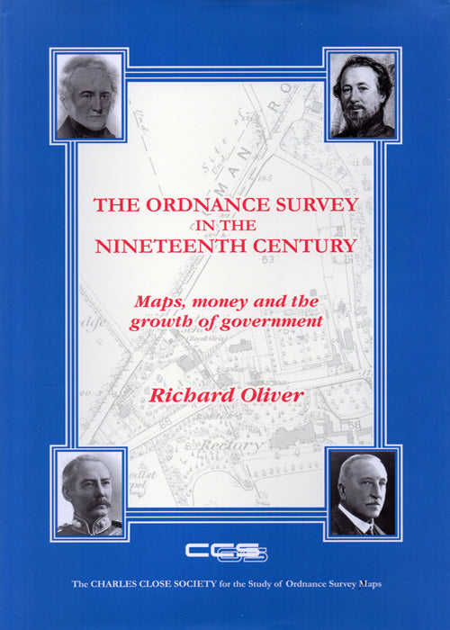
Maps, money and the growth of Government. A monumental account of the development of the OS up to 1914. 607 pages, hardback.
The Ordnance Survey is sometimes spoken of as the producer of 'the best maps in the world'.
This had to start somewhere, and this book tells the story of the OS from its origins in the late eighteenth century to the completion in 1914 of the survey of the British Isles at 1:2500 scale. There have been several histories of the Ordnance Survey: this one differs from all the others in that it wades into politics as well as maps in order to tell the story of the inception of the organisation, the 'Battle of the Scales' and how the OS became an essential part of the nation's infrastructure.
Based on the author's doctoral thesis and many years' further research, this approachable but authoritative account includes reference to unpublished, and many hitherto unexplored, papers in The National Archives.


