
charlesclosesociety
MAPS FOR EMPIRE BY A. CRISPIN JEWITT, 2nd edition.
MAPS FOR EMPIRE BY A. CRISPIN JEWITT, 2nd edition.
Couldn't load pickup availability
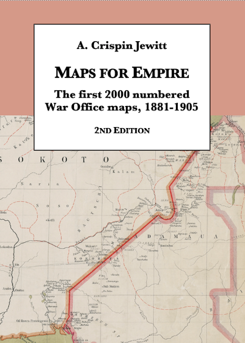
The first edition of this book was published (by the British Library) in 1992. It describes the first 2000 sequentially numbered maps or map series issued successively by the Intelligence Division, War Office (IDWO), the Topographical Section, General Staff (TSGS) and the Geographical Section, General Staff (GSGS).
Since the first edition was published considerable fresh information has become available, including material for which only vestigial information was previously known. An additional dimension is supplied by the plates being now in colour.
Nineteenth-century British military mapping is not particularly well documented, and this book is more than a detailed listing of the maps first issued between 1881 and 1905: it is a substitute for a narrative history. Here are exposed not only the details of individual maps, but an indication of both changing and continued preoccupations: many maps were only produced in a single edition or version to meet a short-term need, whereas others had a long history, stretching into the mid twentieth century. The book complements the author’s Intelligence revealed: maps, plans and views at Horse Guards and the War Office 1800-1880, published in 2011.
The original book was ground-breaking, and has proved indispensable to collectors, librarians and historians of cartography.
572 pages, plus 16 pages of colour plates, B5 size
