charlesclosesociety
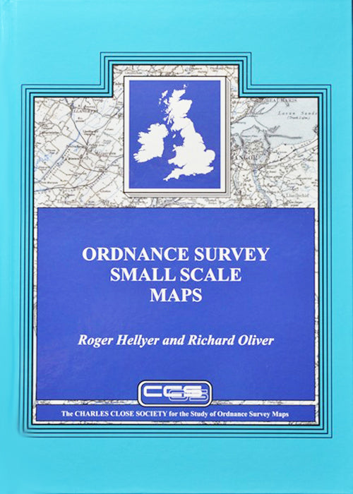
ORDNANCE SURVEY SMALL SCALE MAPS
ORDNANCE SURVEY SMALL SCALE MAPS
Couldn't load pickup availability
Roger Hellyer & Richard Oliver, 2023.
The long-awaited study of the half-inch and quarter-inch series, together with OS aviation mapping. 404 pages and 32 pages of colour plates, hardback.
This is the book that collectors, librarians and map historians have waited decades for: at last they can learn the full and singular stories of the Ordnance Survey’s quarter-inch and half-inch map families, and place their collections in context in the extensive cartobibliographies.
The quarter-inch can trace its origins to the early 1830s, and a national series was begun in 1859, which wasn’t completed until 1892. Why? The answer is here! Then in the twentieth century the quarter-inch was repeatedly redrawn and republished, and was adapted for military and aviation use: a ‘small-scale’ led to a huge number of versions. Here is told the tangled story of how eventually there was just one version, the Road Map still on sale.
The half-inch was begun in 1902 at military behest, and in its early years changed its style about once every two years, creating a great variety of sheets and styles. Then the military lost interest, the half-inch began to look a little tired, and in the late 1930s renewal began, with a striking map of Greater London. But then war and other priorities meant that ‘the new half-inch’ amounted to a few scattered sheets, before it was abandoned. Here is told the convoluted story of how this ‘new half-inch’ of Great Britain never really made it – and how the ‘old half-inch’ of Ireland was for a while the standard topographic map of the country.
438 pages (plus preliminaries) and 32 pages of colour plates.


