charlesclosesociety
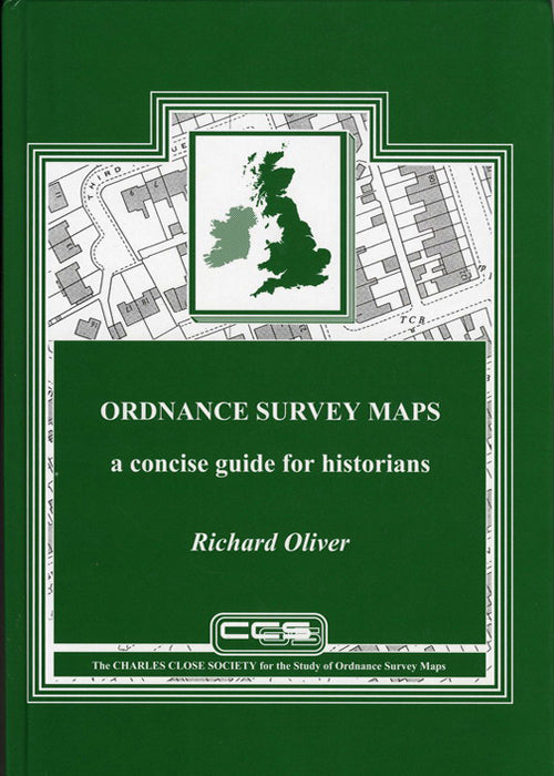
ORDNANCE SURVEY MAPS: A CONCISE GUIDE FOR HISTORIANS
ORDNANCE SURVEY MAPS: A CONCISE GUIDE FOR HISTORIANS
Regular price
£15.00
Regular price
£15.00
Sale price
£15.00
Unit price
per
Tax included.
Couldn't load pickup availability
Third Edition, revised, corrected and expanded, Richard Oliver, 2013.
320 pages, hardback.
This fully revised and updated edition, published October 2013,includes a greatly expanded list of towns with their mapping dates, improved data on the early 1:2500 mapping of counties, and further minutiae on ‘points of detail’, as well as an updated bibliography.
Summary of chapters:
- The development of the Ordnance Survey
- Ordnance Survey maps as historical sources: some general points
- Scales and characteristics of Ordnance Survey maps
- Some Ordnance Survey definitions and terminology
- Notes on the depiction of detail
- Ordnance Survey mapping of towns
- Ordnance Survey mapping of counties
- Abbreviations used on Ordnance Survey maps
- Select bibliography


