charlesclosesociety
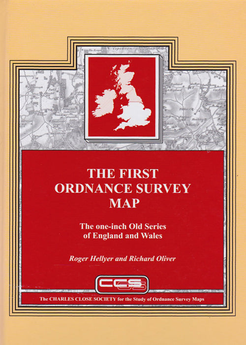
THE FIRST ORDNANCE SURVEY MAP
THE FIRST ORDNANCE SURVEY MAP
Couldn't load pickup availability
Roger Hellyer and Richard Oliver, 2015.
A history and cartobibliography of the one-inch old series of England & Wales. 421 pages, hardback.
This book is the outcome of many years study of what for many was for long ‘the Ordnance map’. It includes a 95,000-word historical account of the development of the maps by Richard Oliver, and a 265-page cartobibliography by Roger Hellyer that has drawn on the libraries of three continents. There is a foreword by Yolande Hodson. It complements the same authors’ One-inch engraved maps of the Ordnance Survey from 1847 (2009).
The story of the Old Series is in many ways also the story of the first half-century or so of the Ordnance Survey. The first sheets that were completely independent Ordnance survey productions were only published in 1805, though they incorporate field survey work going back to the 1780s. The last sheets of the ‘true Old Series’ were published in 1844; all the sheets remained in print, with various amounts of updating, until 1903. The introductory essay covers the survey of the mapping, and describes influences on its development and, ultimately, its demise. The cartobibliography disentangles the often complicated plate-history for each sheet.
The book includes index diagrams, a list of map collections, chronology, bibliography and a comprehensive index to the essay, as well as numerous illustrations of details on the maps themselves.
This book is an essential purchase for all map librarians, serious students and collectors of Ordnance Survey maps.


